Advanced Building Segmentation & Detection
Leverage cutting-edge AI technology to accurately detect and segment buildings from images and orthophotos. Perfect for urban planning, construction, and real estate professionals.
New to building detection? Read our complete guide first →
AI-Powered Building Segmentation in Action
See how our AI technology transforms raw images into detailed building analyses
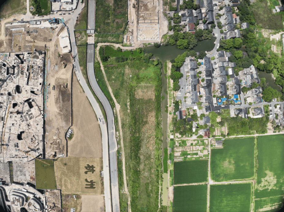
Raw drone imagery of an urban area before AI processing
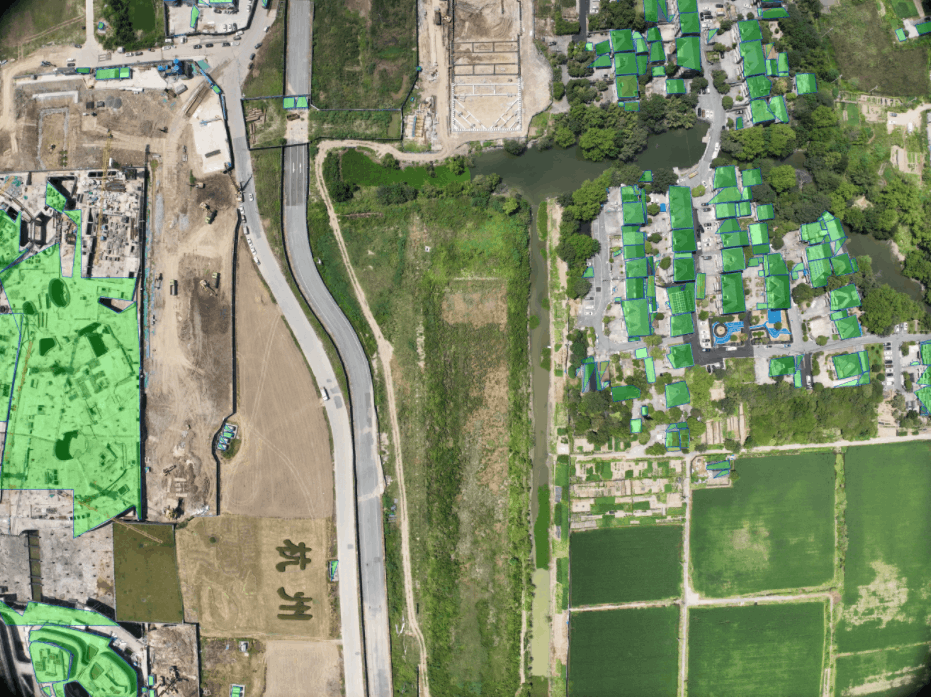
AI-processed image with building boundaries clearly segmented
Powerful AI Capabilities
Our advanced AI technology offers a range of features to meet your Building Segmentation needs
Accurate Detection
High-precision building detection from various image types, including drone imagery and orthophotos
Precise Segmentation
Detailed building boundary segmentation for accurate analysis and measurement of built areas
Orthophoto Support
Process large-scale orthophotos for comprehensive mapping and urban planning applications
Learn More About AI Building Analysis
Explore our guides to get the most out of AI-powered building detection
Best Drone Photogrammetry Software 2026
Compare Pix4D, Metashape, DJI Terra and more to create accurate orthophotos for building analysis.
Read guide →How to Calculate Building Footprint
Step-by-step guide to measuring building areas from drone imagery using AI-powered tools.
Read guide →AI vs Manual Detection: ROI Analysis
See how much time and money AI building detection can save compared to traditional methods.
Read guide →